The Parish Boundary Stones
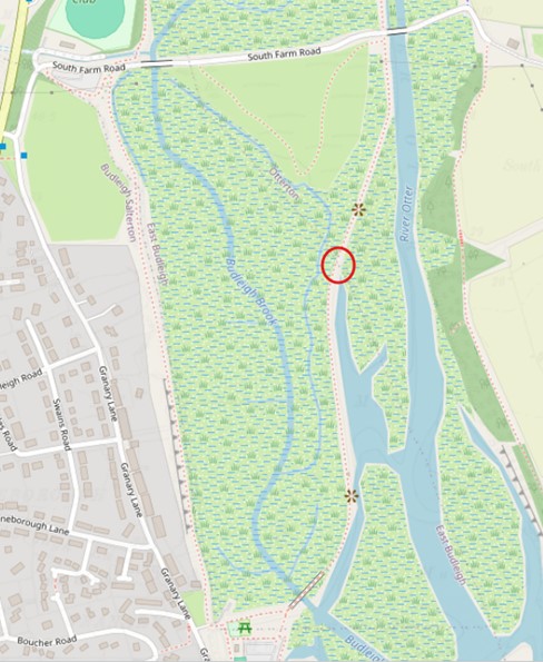
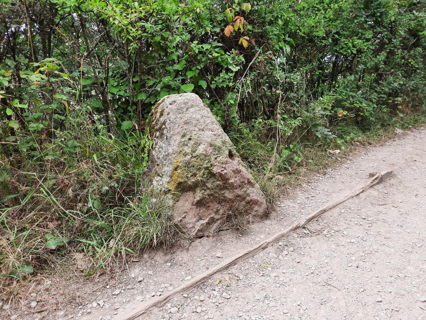
Along the River Otter footpath, some 300m north of the Lime Kiln footbridge, there is a triangular piece of stone about 450mm high on the west side of the path. This piece of stone is an old boundary stone marking the parishes of East Budleigh and Otterton. It is feasible that it has been here since the sixteenth century. It would have been repositioned when the embankment was constructed in the early nineteenth century but is probably the original marker stone.

OpenStreetMap section

Parish boundary stone, August 2024
Parishes were formed between the ninth and twelfth centuries in England when they were supported by tithes from those residing in that area. Each parish would have to be clearly defined to enable the parish priest to receive his due from his congregation. Firm boundaries for a parish would have become necessary when land was enclosed, starting in the sixteenth century. The oldest, most reliable, maps are the tithe maps, which clearly define parish boundaries and, in many cases, show the location of boundary stones and marks. Estate maps also show parish boundaries, but only for the area of that estate. The Ordnance Survey has always recorded parish boundaries.

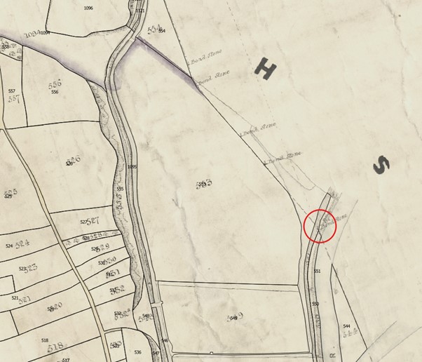
East Budleigh tithe map, 1842
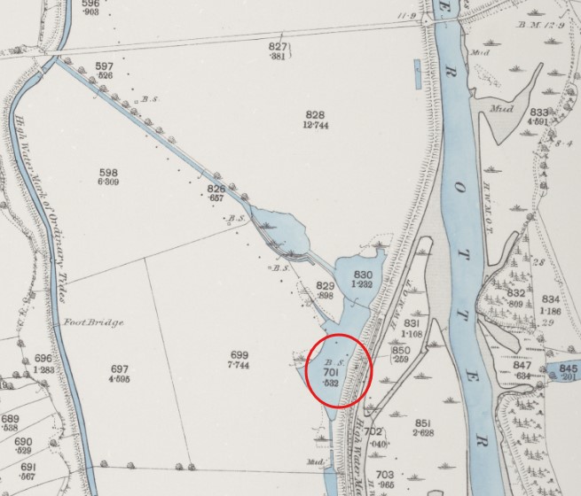
The East Budleigh tithe map of 1842 clearly shows this boundary stone, along with four more following the boundary running north west to South Farm Road. These same boundary stones also appear on the Otterton tithe map. By 1889 the Ordnance Survey map shows a total of four stones, meaning that one may have been lost. The tithe map shows another six boundary stones continuing northwards to Big Bank, clearly defining the parish boundary through the marsh, where there were no natural features, even though the land was owned by Lord Rolle but occupied by different tenants. This would have enabled the tithe to be correctly collected by the respective parish priests. The 1889 Ordnance Survey map shows only three of these marker stones.

Ordnance Survey map, 1889
A local resident recalls some years ago noting the boundary stones along the line of a footpath which had become overgrown and water-logged in places and was no longer used. Today the old footpath has been replaced by the new footpath to the bird hide south of South Farm Road and the old stone by the river path is the only one remaining in situ.
Martin Smith
September 2024
